Red River Gorge Guidebooks – 4th Edition
I have a confession to make. Unlike many folks around here, who seem to have second homes in Kentucky, I have only been to the Red River Gorge once. I was in college, and we had a four day fall break, so we loaded up two cars and made the trek from Ithaca down to Kentucky. We were used to climbing at the Gunks, with its mostly less-than-vertical faces and short, powerful cruxes, and were woefully under prepared for the steep, power endurance style so prevalent in the Red. Still, we had a blast, I took my first big sport whipper, and even though it rained for most of the time, we were able to find dry rock at reasonable grades. It was a grand adventure, and certainly left an impression, though I was such a young climber I couldn’t appreciate it nearly as much as I would now.
That was almost fourteen years ago, and it’s always been a place I’ve wanted to get back to. A friend’s Facebook status in the fall was telling of how popular the area has become: “Click like if you AREN’T in the Red River Gorge right now.” I had to laugh, as we had many mutual friends there at the time, and it felt a little like being left out of the playground games to be “stuck” here in Colorado.
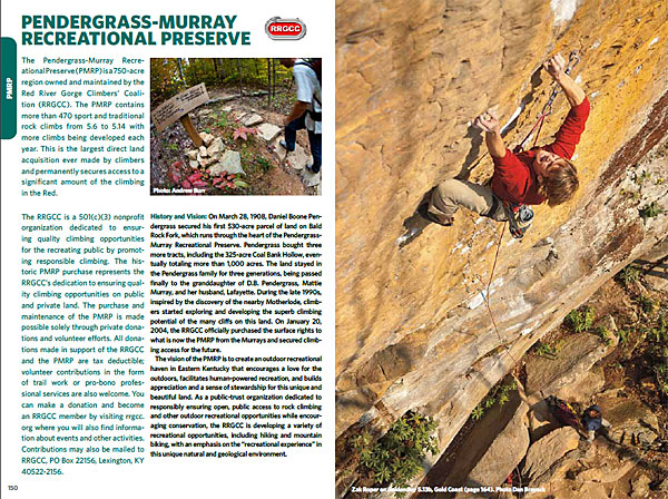
Back when I visited, there was one guidebook for the area, but even then, it was pretty substantial. Every year since, more and more cliffs have been developed and many new routes added, to the point that the latest edition is actually two books, dividing the region into Northern and Southern zones. The Northern Region covers Gray’s Branch, Lower Gorge, Northern Gorge, Middle Gorge, Eastern Gorge, and the Tunnel Ridge Road. The Southern Region covers Natural Bridge, Muir Valley, the Pendergrass-Murray Recreational Preserve and the Motherlode. Dave Pegg at Wolverine Publishing sent some hot-off-the-presses copies my way, and I’ve been dreaming of southern sandstone ever since.
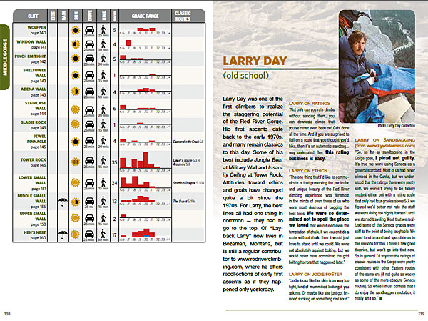
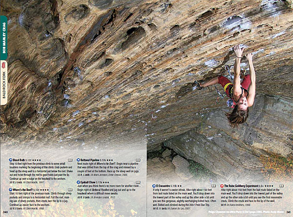
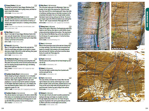
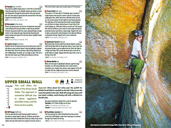
The books are everything you’ve come to expect from Wolverine, with excellent beta and plenty of inspiring, full color action shots. Each area has an overview chart that at a quick glance lets you know if the area is appropriate for kids, if it’s climbable in the rain, what kind of sun it gets, how far the hike is, the spread of grades and more. I was also struck by how detailed the route descriptions are. Usually, as a guidebook starts to gain size, the route descriptions themselves are what get’s chopped down to make room. Not so with these books, meaning you’ll have the full beta for any of the 2000 or so routes you might want to try. Rounding things out are essays from local personalities, which I always feel is a nice touch for conveying a sense of the local climbing history and culture.
I’m such a sucker for guidebooks that I almost always buy the new edition, but at times I’ve been somewhat disappointed by how little new info there is a new edition compared to the old one. So are these new books worth getting? There are over 150 new routes, which honestly doesn’t seem like much to me considering how massive the RRG is, but if it’s your home crag, you’ll likely want to get the beta on these new climbs. Also, having two volumes is certainly nicer than lugging around one big book. Retail on each book is $24.95, or you can buy the package for $45. The choice is yours.
I don’t know when I’ll be able to make a trip back to this place, but these books have found a permanent place in my bathroom reading material, meaning it’s probably only a matter of time before I can no longer resist the call of steep, southern sandstone.
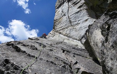
See sample images below, to purchase, or find out more, visit Wolverine Publishing.
Disclaimer: Wolverine Publishing provided us with these books for the purpose of reviewing.
Bulldog Creek Dog Walk (IV WI 4+)
Hayden Carpenter and Tom Bohanon recently repeated an obscure ice climb on the south side of Mt Sopris. Given a brief mention in Jack Robert’s ice guide, Bulldog Creek Walk is described as being 100 meters of WI 4. What they found was seven pitches of ice in a remote setting that makes for one […]
Connect with Us




Recent Comments